The USNG is a navigational language.
Just like English is a language used to communicate with and understand other English speakers, the USNG is a language used to communicate and understand a location on earth.
For example, we might say:
"I live at 123 Main Street, Anytown USA"
or
"I set up camp at the Oaks Campsite #4 in the Woodville State Park"
Both may be correct, common references and therefore easy to understand.
The USNG however, in the words of its authors,
“provides a more inter-operable environment … by establishing a preferred nationally-consistent grid reference system.”
By being more “inter-operable” and “nationally consistent” the US National Grid enables a simpler way for responders across the country to communicate seamlessly with each other where they are and where they’re going during an catastrophic incident.
Especially one in which traditional navigation references - like street signs - are not consistently available.
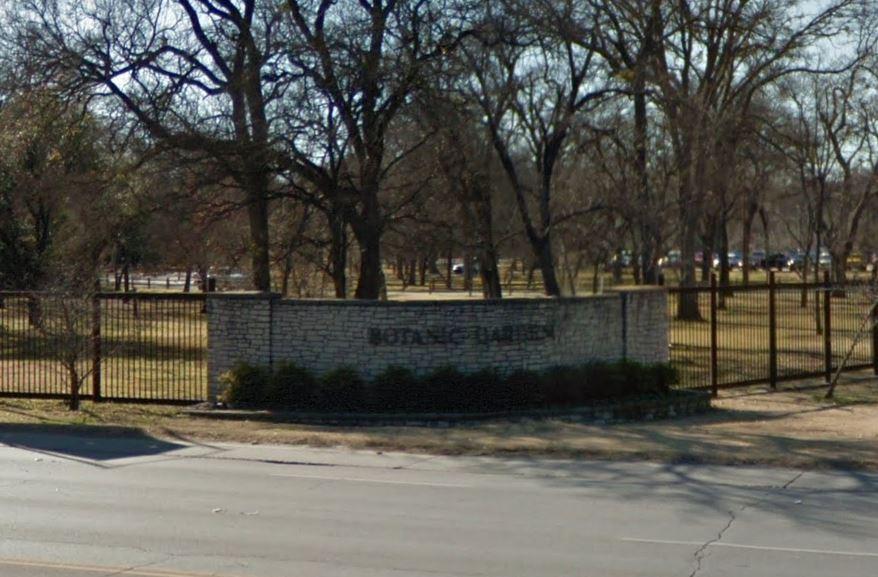
Imagine if all 100-plus acres of the Botanic Gardens in Fort Worth, Texas were impacted by a tornado and responders needed to find the building where people were reportedly trapped.
The not-so-helpful mailing address of the entire site is 3220 Botanic Garden Boulevard, Fort Worth, Texas 76107, which only gets you to the front gate.

However, the USNG coordinate of the building where people are trapped is 14S PB 5331 2368, which describes a pinpoint location within 10 meters.
(Worry not, I'll explain the number sequence momentarily.)
By using the USNG, responders can more quickly and accurately arrive at the place where they are most needed.
And isn't that where responders are supposed to be?
